
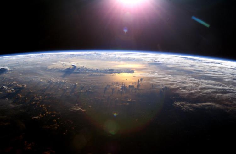
 Throughout history, humans have always valued the view from above, seeking high ground to survey the land, find food, assess threats, and understand their immediate environment. The advent of aircraft early in the 20th century took this capability literally to new levels, as aerial photos of farm lands, hazards, military threats, etc. provided new opportunities for security and prosperity. And beginning in 1960, with the launch of the first weather satellite, TIROS, we came to know our world in ways that were not possible before, as we saw the Earth as a system of interacting components. In the decades since, our ability to understand this system has been transformed profoundly by satellite observations, which have helped us not only understand our changing planet in new ways, but also improve our relationship with it.
 Department of Geography Colloquium Series Presents:
Dr. Waleed Abdalati, Professor of Geography and Executive Director of CIRES